|
Unofficial Property Record Card - Falmouth, MA
|
|

|
|
General Property Data
|
|
|
| Parcel
ID |
29 07 004 000C |
Account
Number |
WAQUOIT |
| Prior Parcel
ID |
-- |
| Property
Owner |
COMMONWEALTH OF MASS |
Property
Location |
131 WAQUOIT HWY |
| |
DEPT CONSERVATION/RECREATION |
Property
Use |
DP&R |
| Mailing
Address |
PO BOX 3092 |
Most
Recent
Sale Date |
11/2/1989 |
| |
C/O WAQUOIT BAY NAT EST RES RESERVE |
Legal
Reference |
118919 |
| City |
WAQUOIT |
Grantor |
|
| Mailing
State |
|
Sale Price |
0 |
| ParcelZoning |
RA |
Land Area |
23.320 acres |
|
|
|
|
|
Current Property Assessment
|
|
|
| Card 1 Value |
Building Value |
221,600 |
Xtra Features Value |
0 |
Land Value |
3,075,900 |
Total Value |
3,297,500 |
|
Total Parcel Value |
Building Value |
1,079,500 |
Xtra Features Value |
47,200 |
Land Value |
3,075,900 |
Total Value |
4,202,600 |
|
|
|
|
|
| Legal Description
|
|
|
|
|
|
|
| Narrative Description of Property
|
|
|
|
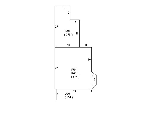
This property contains 23.320 acres of land mainly classified as
DP&R
with a(n) Conventional style building, built about
1890 , having Clapboard exterior and WoodShingle
roof cover, with 0
unit(s), 0
room(s), 0
bedroom(s), 2
bath(s), 0 half bath(s). |
|