|
Unofficial Property Record Card - Falmouth, MA
|
|

|
|
General Property Data
|
|
|
| Parcel
ID |
29 08 018 000 |
Account
Number |
WAQUOIT |
| Prior Parcel
ID |
-- |
| Property
Owner |
WAQUOIT CONGREGATIONAL |
Property
Location |
254 WAQUOIT HWY |
| |
CHURCH INC |
Property
Use |
CHURCH |
| Mailing
Address |
15 PARSONS LN |
Most
Recent
Sale Date |
2/25/1955 |
| |
|
Legal
Reference |
901-82 |
| City |
E FALMOUTH |
Grantor |
|
| Mailing
State |
|
Sale Price |
0 |
| ParcelZoning |
RA |
Land Area |
0.211 acres |
|
|
|
|
|
Current Property Assessment
|
|
|
| Card 1 Value |
Building Value |
235,600 |
Xtra Features Value |
0 |
Land Value |
138,700 |
Total Value |
374,300 |
|
Total Parcel Value |
Building Value |
235,600 |
Xtra Features Value |
0 |
Land Value |
138,700 |
Total Value |
374,300 |
|
|
|
|
|
|
Building Description
|
|
|
| Building
Style |
Church |
Foundation
Type |
|
Flooring
Type |
Softwood |
| # of Living
Units |
0 |
Frame
Type |
Wood |
Basement
Floor |
N/A |
| Year
Built |
1848 |
Roof
Structure |
Gable/Hip |
Heating
Type |
Steam |
| Building
Grade |
3 1.0 |
Roof
Cover |
Asphalt |
Heating
Fuel |
Oil |
| Building
Condition |
Average |
Siding |
Vinyl Siding |
Air
Conditioning |
0% |
| Finished
Area (SF) |
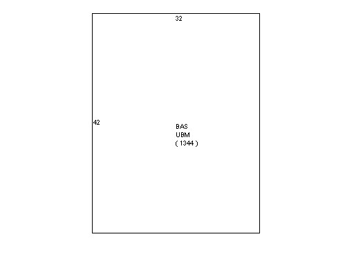
1344 |
Interior
Walls |
Plaster |
# of Bsmt
Garages |
0 |
| Number
Rooms |
0 |
# of
Bedrooms |
0 |
# of Full
Baths |
0 |
| # of 3/4
Baths |
0 |
# of 1/2
Baths |
0 |
# of Other
Fixtures |
0 |
|
|
|
|
| Legal Description
|
|
|
|
|
|
|
| Narrative Description of Property
|
|
|
|
This property contains 0.211 acres of land mainly classified as
CHURCH
with a(n) Church style building, built about
1848 , having Vinyl Siding exterior and Asphalt
roof cover, with 0
unit(s), 0
room(s), 0
bedroom(s), 0
bath(s), 0 half bath(s). |
|
|
|
| Property Images
|
|
|