|
Unofficial Property Record Card - Falmouth, MA
|
|

|
|
General Property Data
|
|
|
| Parcel
ID |
33 13 015 000A |
Account
Number |
EAST FALMOUTH |
| Prior Parcel
ID |
KITCHEN -- |
| Property
Owner |
FALMOUTH TOWN OF |
Property
Location |
33 DAVISVILLE RD |
| |
|
Property
Use |
IMP ED |
| Mailing
Address |
59 TOWN HALL SQ |
Most
Recent
Sale Date |
9/18/1947 |
| |
|
Legal
Reference |
9173 |
| City |
FALMOUTH |
Grantor |
FALMOUTH TOWN OF |
| Mailing
State |
|
Sale Price |
0 |
| ParcelZoning |
PU |
Land Area |
18.376 acres |
|
|
|
|
|
Current Property Assessment
|
|
|
| Card 1 Value |
Building Value |
14,849,700 |
Xtra Features Value |
32,000 |
Land Value |
1,675,600 |
Total Value |
16,557,300 |
|
Total Parcel Value |
Building Value |
14,849,700 |
Xtra Features Value |
32,000 |
Land Value |
1,675,600 |
Total Value |
16,557,300 |
|
|
|
|
|
| Legal Description
|
|
|
|
|
|
|
| Narrative Description of Property
|
|
|
|
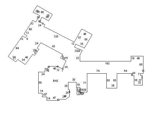
This property contains 18.376 acres of land mainly classified as
IMP ED
with a(n) PublicSchool style building, built about
1972 , having Brick on Mas exterior and Tar/Gravel
roof cover, with 0
unit(s), 0
room(s), 0
bedroom(s), 25
bath(s), 0 half bath(s). |
|