|
Unofficial Property Record Card - Falmouth, MA
|
|

|
|
General Property Data
|
|
|
| Parcel
ID |
33 20 007 000 |
Account
Number |
EAST FALMOUTH |
| Prior Parcel
ID |
A1 THRU A6-- |
| Property
Owner |
DARMALLE CORP |
Property
Location |
424 EAST FALMOUTH HWY |
| |
|
Property
Use |
COMM/RES |
| Mailing
Address |
PO BOX 395 |
Most
Recent
Sale Date |
8/31/2018 |
| |
|
Legal
Reference |
31505-314 |
| City |
E FALMOUTH |
Grantor |
RODERICK TR ETAL,ROBERT B |
| Mailing
State |
|
Sale Price |
10 |
| ParcelZoning |
B2 |
Land Area |
1.782 acres |
|
|
|
|
|
Current Property Assessment
|
|
|
| Card 1 Value |
Building Value |
321,400 |
Xtra Features Value |
39,700 |
Land Value |
447,600 |
Total Value |
808,700 |
|
Total Parcel Value |
Building Value |
1,160,830 |
Xtra Features Value |
39,700 |
Land Value |
447,600 |
Total Value |
1,648,130 |
|
|
|
|
|
| Legal Description
|
|
|
|
|
|
|
| Narrative Description of Property
|
|
|
|
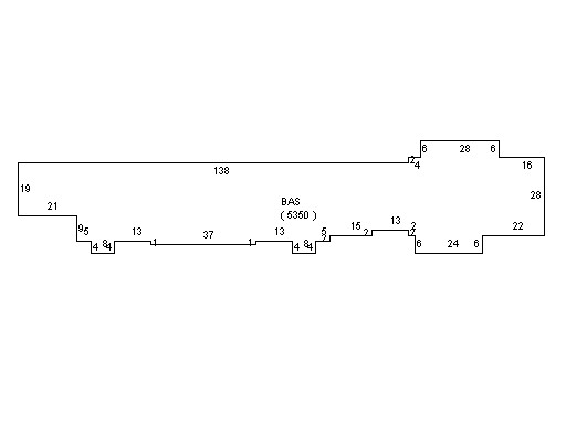
This property contains 1.782 acres of land mainly classified as
COMM/RES
with a(n) Store style building, built about
1966 , having Vinyl Siding exterior and Asphalt
roof cover, with 4
unit(s), 0
room(s), 0
bedroom(s), 0
bath(s), 4 half bath(s). |
|