|
Unofficial Property Record Card - Falmouth, MA
|
|

|
|
General Property Data
|
|
|
| Parcel
ID |
34 04 049 006 |
Account
Number |
EAST FALMOUTH |
| Prior Parcel
ID |
-- |
| Property
Owner |
BURNS THURSTON |
Property
Location |
154 BRICK KILN RD |
| |
|
Property
Use |
MULT HS |
| Mailing
Address |
PO BOX 172 |
Most
Recent
Sale Date |
1/7/2005 |
| |
|
Legal
Reference |
175596 |
| City |
W FALMOUTH |
Grantor |
TRUE,ALINE L |
| Mailing
State |
|
Sale Price |
100 |
| ParcelZoning |
AGB |
Land Area |
1.778 acres |
|
|
|
|
|
Current Property Assessment
|
|
|
| Card 1 Value |
Building Value |
160,700 |
Xtra Features Value |
0 |
Land Value |
187,300 |
Total Value |
348,000 |
|
Total Parcel Value |
Building Value |
267,900 |
Xtra Features Value |
20,700 |
Land Value |
187,300 |
Total Value |
475,900 |
|
|
|
|
|
|
Building Description
|
|
|
| Building
Style |
Cape Cod |
Foundation
Type |
|
Flooring
Type |
Softwood |
| # of Living
Units |
0 |
Frame
Type |
Wood |
Basement
Floor |
N/A |
| Year
Built |
1890 |
Roof
Structure |
Gable/Hip |
Heating
Type |
Hot Water |
| Building
Grade |
3 1.0 |
Roof
Cover |
Asphalt |
Heating
Fuel |
Oil |
| Building
Condition |
Average |
Siding |
Vinyl Siding |
Air
Conditioning |
0% |
| Finished
Area (SF) |
980 |
Interior
Walls |
Drywall |
# of Bsmt
Garages |
0 |
| Number
Rooms |
6 |
# of
Bedrooms |
3 |
# of Full
Baths |
1 |
| # of 3/4
Baths |
0 |
# of 1/2
Baths |
0 |
# of Other
Fixtures |
0 |
|
|
|
|
| Legal Description
|
|
|
|
|
|
|
| Narrative Description of Property
|
|
|
|
This property contains 1.778 acres of land mainly classified as
MULT HS
with a(n) Cape Cod style building, built about
1890 , having Vinyl Siding exterior and Asphalt
roof cover, with 0
unit(s), 6
room(s), 3
bedroom(s), 1
bath(s), 0 half bath(s). |
|
|
|
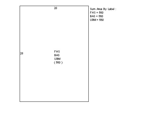
| Property Images
|
|
|