|
Unofficial Property Record Card - Falmouth, MA
|
|

|
|
General Property Data
|
|
|
| Parcel
ID |
38 04 023B 000 |
Account
Number |
Falmouth |
| Prior Parcel
ID |
-- |
| Property
Owner |
COMMONWEALTH OF MASS |
Property
Location |
161 JONES RD |
| |
ADJUTANT GENERALS OFFICE |
Property
Use |
JUDICIARY |
| Mailing
Address |
905 COMMONWEALTH AVE |
Most
Recent
Sale Date |
3/13/1956 |
| |
|
Legal
Reference |
936-30 |
| City |
BOSTON |
Grantor |
|
| Mailing
State |
|
Sale Price |
0 |
| ParcelZoning |
PU |
Land Area |
3.403 acres |
|
|
|
|
|
Current Property Assessment
|
|
|
| Card 1 Value |
Building Value |
1,533,300 |
Xtra Features Value |
15,000 |
Land Value |
494,700 |
Total Value |
2,043,000 |
|
Total Parcel Value |
Building Value |
1,533,300 |
Xtra Features Value |
15,000 |
Land Value |
494,700 |
Total Value |
2,043,000 |
|
|
|
|
|
| Legal Description
|
|
|
|
|
|
|
| Narrative Description of Property
|
|
|
|
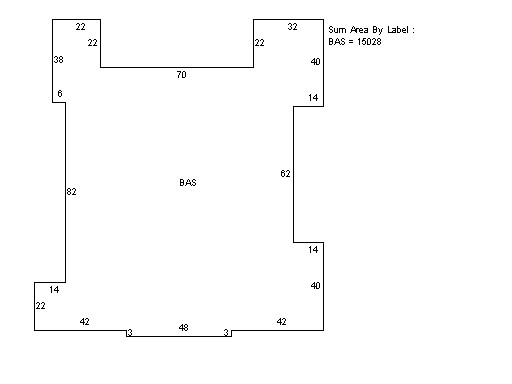
This property contains 3.403 acres of land mainly classified as
JUDICIARY
with a(n) Other State style building, built about
1954 , having Brick on Mas exterior and Asphalt
roof cover, with 0
unit(s), 0
room(s), 0
bedroom(s), 10
bath(s), 0 half bath(s). |
|