|
Unofficial Property Record Card - Falmouth, MA
|
|

|
|
General Property Data
|
|
|
| Parcel
ID |
39 02D 000 410A |
Account
Number |
EAST FALMOUTH |
| Prior Parcel
ID |
-- |
| Property
Owner |
NOONAN III C BRENDAN |
Property
Location |
277 SHOREWOOD DR |
| |
NOONAN KIM M |
Property
Use |
ONE FAMILY |
| Mailing
Address |
11 SUMMIT RD |
Most
Recent
Sale Date |
3/30/2010 |
| |
UNIT 46 |
Legal
Reference |
24450-78 |
| City |
BELMONT |
Grantor |
OCONNOR TRUSTEE,J TIMOTHY |
| Mailing
State |
|
Sale Price |
967,500 |
| ParcelZoning |
RB |
Land Area |
0.676 acres |
|
|
|
|
|
Current Property Assessment
|
|
|
| Card 1 Value |
Building Value |
556,900 |
Xtra Features Value |
14,300 |
Land Value |
853,200 |
Total Value |
1,424,400 |
|
Total Parcel Value |
Building Value |
556,900 |
Xtra Features Value |
14,300 |
Land Value |
853,200 |
Total Value |
1,424,400 |
|
|
|
|
|
| Legal Description
|
|
|
|
|
|
|
| Narrative Description of Property
|
|
|
|
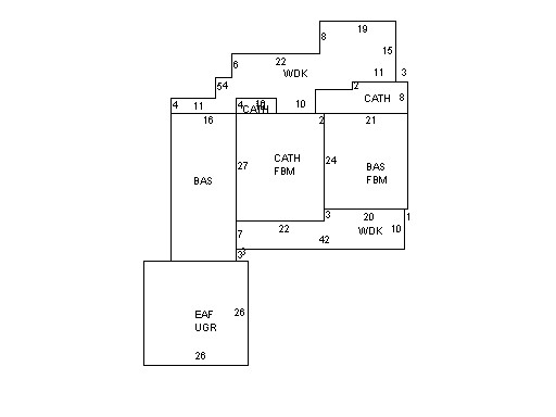
This property contains 0.676 acres of land mainly classified as
ONE FAMILY
with a(n) Ranch style building, built about
1970 , having Wood Shingle exterior and Asphalt
roof cover, with 1
unit(s), 6
room(s), 3
bedroom(s), 3
bath(s), 0 half bath(s). |
|