|
Unofficial Property Record Card - Falmouth, MA
|
|

|
|
General Property Data
|
|
|
| Parcel
ID |
05 03 006C 010 |
Account
Number |
NORTH FALMOUTH |
| Prior Parcel
ID |
-- |
| Property
Owner |
MAMARY TRUSTEE MARYCATHERINE |
Property
Location |
42 BRAINERD RD |
| |
MAMARY SR TRUSTEE JAMES S |
Property
Use |
ONE FAMILY |
| Mailing
Address |
181 COUNTY RD |
Most
Recent
Sale Date |
10/31/2012 |
| |
|
Legal
Reference |
26812-308 |
| City |
N FALMOUTH |
Grantor |
BEARON,MICHAEL T |
| Mailing
State |
|
Sale Price |
1,650,000 |
| ParcelZoning |
RB |
Land Area |
0.785 acres |
|
|
|
|
|
Current Property Assessment
|
|
|
| Card 1 Value |
Building Value |
1,814,600 |
Xtra Features Value |
29,200 |
Land Value |
2,088,300 |
Total Value |
3,932,100 |
|
Total Parcel Value |
Building Value |
1,814,600 |
Xtra Features Value |
29,200 |
Land Value |
2,088,300 |
Total Value |
3,932,100 |
|
|
|
|
|
| Legal Description
|
|
|
|
PLAN 617/19`07 ALSO KNOWN AS LOT 10A
|
|
|
| Narrative Description of Property
|
|
|
|
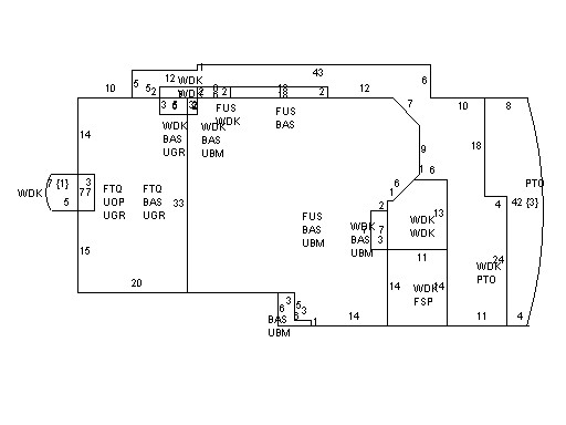
This property contains 0.785 acres of land mainly classified as
ONE FAMILY
with a(n) Custom style building, built about
2014 , having Wood Shingle exterior and Asphalt
roof cover, with 1
unit(s), 9
room(s), 4
bedroom(s), 4
bath(s), 1 half bath(s). |
|