|
Unofficial Property Record Card - Falmouth, MA
|
|

|
|
General Property Data
|
|
|
| Parcel
ID |
39 21 006C 000 |
Account
Number |
Falmouth |
| Prior Parcel
ID |
-- |
| Property
Owner |
FALMOUTH HOUSING AUTHORITY |
Property
Location |
58 ROSE MORIN LN |
| |
|
Property
Use |
HOUSING ATH |
| Mailing
Address |
115 SCRANTON AVE |
Most
Recent
Sale Date |
4/16/1969 |
| |
|
Legal
Reference |
01433-0729 |
| City |
FALMOUTH |
Grantor |
|
| Mailing
State |
|
Sale Price |
0 |
| ParcelZoning |
RC |
Land Area |
7.577 acres |
|
|
|
|
|
Current Property Assessment
|
|
|
| Card 1 Value |
Building Value |
124,600 |
Xtra Features Value |
9,800 |
Land Value |
535,500 |
Total Value |
669,900 |
|
Total Parcel Value |
Building Value |
1,415,900 |
Xtra Features Value |
52,600 |
Land Value |
535,500 |
Total Value |
2,004,000 |
|
|
|
|
|
|
Building Description
|
|
|
| Building
Style |
Apartments |
Foundation
Type |
|
Flooring
Type |
Softwood |
| # of Living
Units |
0 |
Frame
Type |
Wood |
Basement
Floor |
N/A |
| Year
Built |
1971 |
Roof
Structure |
Gable/Hip |
Heating
Type |
Steam |
| Building
Grade |
3 1.0 |
Roof
Cover |
Asphalt |
Heating
Fuel |
Oil |
| Building
Condition |
Average |
Siding |
Vinyl Siding |
Air
Conditioning |
0% |
| Finished
Area (SF) |
2688 |
Interior
Walls |
Drywall |
# of Bsmt
Garages |
0 |
| Number
Rooms |
0 |
# of
Bedrooms |
0 |
# of Full
Baths |
6 |
| # of 3/4
Baths |
0 |
# of 1/2
Baths |
0 |
# of Other
Fixtures |
0 |
|
|
|
|
| Legal Description
|
|
|
|
|
|
|
| Narrative Description of Property
|
|
|
|
This property contains 7.577 acres of land mainly classified as
HOUSING ATH
with a(n) Apartments style building, built about
1971 , having Vinyl Siding exterior and Asphalt
roof cover, with 0
unit(s), 0
room(s), 0
bedroom(s), 6
bath(s), 0 half bath(s). |
|
|
|
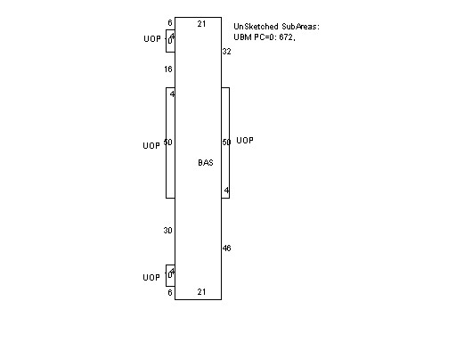
| Property Images
|
|
|