|
Unofficial Property Record Card - Falmouth, MA
|
|

|
|
General Property Data
|
|
|
| Parcel
ID |
40 11 011 011 |
Account
Number |
EAST FALMOUTH |
| Prior Parcel
ID |
-- |
| Property
Owner |
GRAY TRUSTEE G BRIAN |
Property
Location |
67 SANDCASTLE DR |
| |
GRAY TRUSTEE LAUREEN K |
Property
Use |
ONE FAMILY |
| Mailing
Address |
67 SANDCASTLE DR |
Most
Recent
Sale Date |
6/20/2014 |
| |
|
Legal
Reference |
28214-265 |
| City |
E FALMOUTH |
Grantor |
GRAY,G BRIAN |
| Mailing
State |
|
Sale Price |
1 |
| ParcelZoning |
RA |
Land Area |
0.370 acres |
|
|
|
|
|
Current Property Assessment
|
|
|
| Card 1 Value |
Building Value |
665,000 |
Xtra Features Value |
1,900 |
Land Value |
743,600 |
Total Value |
1,410,500 |
|
Total Parcel Value |
Building Value |
665,000 |
Xtra Features Value |
1,900 |
Land Value |
743,600 |
Total Value |
1,410,500 |
|
|
|
|
|
| Legal Description
|
|
|
|
|
|
|
| Narrative Description of Property
|
|
|
|
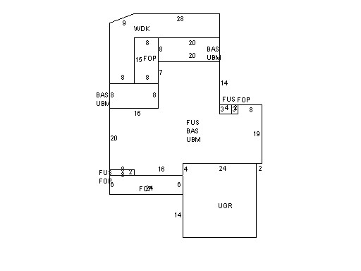
This property contains 0.370 acres of land mainly classified as
ONE FAMILY
with a(n) Colonial style building, built about
1997 , having Wood Shingle exterior and Asphalt
roof cover, with 1
unit(s), 7
room(s), 4
bedroom(s), 3
bath(s), 1 half bath(s). |
|