|
Unofficial Property Record Card - Falmouth, MA
|
|

|
|
General Property Data
|
|
|
| Parcel
ID |
40A 02 001 000 |
Account
Number |
EAST FALMOUTH |
| Prior Parcel
ID |
-- |
| Property
Owner |
DECOTEAU TRUSTEE JAY M |
Property
Location |
507 CENTRAL AVE |
| |
DECOTEAU TRUSTEE LEA S |
Property
Use |
ONE FAMILY |
| Mailing
Address |
100 OVERLOOK DR |
Most
Recent
Sale Date |
10/29/2020 |
| |
|
Legal
Reference |
33411-331 |
| City |
GROTON |
Grantor |
DECOTEAU ,LEA S |
| Mailing
State |
|
Sale Price |
10 |
| ParcelZoning |
RB |
Land Area |
0.597 acres |
|
|
|
|
|
Current Property Assessment
|
|
|
| Card 1 Value |
Building Value |
668,300 |
Xtra Features Value |
0 |
Land Value |
1,404,300 |
Total Value |
2,072,600 |
|
Total Parcel Value |
Building Value |
668,300 |
Xtra Features Value |
0 |
Land Value |
1,404,300 |
Total Value |
2,072,600 |
|
|
|
|
|
| Legal Description
|
|
|
|
|
|
|
| Narrative Description of Property
|
|
|
|
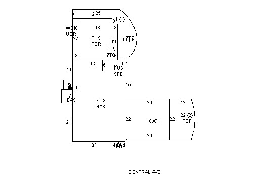
This property contains 0.597 acres of land mainly classified as
ONE FAMILY
with a(n) Colonial style building, built about
1929 , having Wood Shingle exterior and Asphalt
roof cover, with 1
unit(s), 9
room(s), 5
bedroom(s), 2
bath(s), 0 half bath(s). |
|