|
Unofficial Property Record Card - Falmouth, MA
|
|

|
|
General Property Data
|
|
|
| Parcel
ID |
45 24 000 006 |
Account
Number |
EAST FALMOUTH |
| Prior Parcel
ID |
-- |
| Property
Owner |
OUIMETTE ROBERT A |
Property
Location |
18 FOSTER RD |
| |
|
Property
Use |
ONE FAMILY |
| Mailing
Address |
1155 PARK AVE |
Most
Recent
Sale Date |
10/16/1998 |
| |
APT 2NW |
Legal
Reference |
11766-0162 |
| City |
NEW YORK |
Grantor |
OUIMETTE WILFRED T TR ETAL |
| Mailing
State |
|
Sale Price |
245,000 |
| ParcelZoning |
RB |
Land Area |
0.538 acres |
|
|
|
|
|
Current Property Assessment
|
|
|
| Card 1 Value |
Building Value |
260,900 |
Xtra Features Value |
9,300 |
Land Value |
752,600 |
Total Value |
1,022,800 |
|
Total Parcel Value |
Building Value |
260,900 |
Xtra Features Value |
9,300 |
Land Value |
752,600 |
Total Value |
1,022,800 |
|
|
|
|
|
| Legal Description
|
|
|
|
|
|
|
| Narrative Description of Property
|
|
|
|
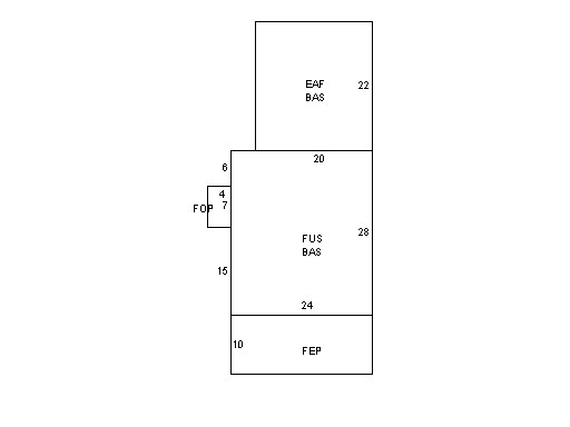
This property contains 0.538 acres of land mainly classified as
ONE FAMILY
with a(n) Colonial style building, built about
1925 , having Wood Shingle exterior and Asphalt
roof cover, with 1
unit(s), 8
room(s), 5
bedroom(s), 2
bath(s), 0 half bath(s). |
|