|
Unofficial Property Record Card - Falmouth, MA
|
|

|
|
General Property Data
|
|
|
| Parcel
ID |
46A 02 000 012 |
Account
Number |
MENAUHANT |
| Prior Parcel
ID |
-- |
| Property
Owner |
2 CUPS LLC |
Property
Location |
67 MENAUHANT RD |
| |
|
Property
Use |
ONE FAMILY |
| Mailing
Address |
2016 CORTELYOU RD |
Most
Recent
Sale Date |
9/21/2018 |
| |
|
Legal
Reference |
217358 |
| City |
CHARLOTTE |
Grantor |
WATANABE TRUSTEE,BETTY |
| Mailing
State |
|
Sale Price |
2,085,000 |
| ParcelZoning |
RC |
Land Area |
0.204 acres |
|
|
|
|
|
Current Property Assessment
|
|
|
| Card 1 Value |
Building Value |
912,600 |
Xtra Features Value |
0 |
Land Value |
1,746,900 |
Total Value |
2,659,500 |
|
Total Parcel Value |
Building Value |
912,600 |
Xtra Features Value |
0 |
Land Value |
1,746,900 |
Total Value |
2,659,500 |
|
|
|
|
|
| Legal Description
|
|
|
|
|
|
|
| Narrative Description of Property
|
|
|
|
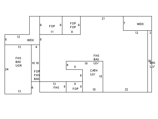
This property contains 0.204 acres of land mainly classified as
ONE FAMILY
with a(n) Contemporary style building, built about
2001 , having Wood Shingle exterior and Asphalt
roof cover, with 1
unit(s), 6
room(s), 3
bedroom(s), 3
bath(s), 0 half bath(s). |
|