|
Unofficial Property Record Card - Falmouth, MA
|
|

|
|
General Property Data
|
|
|
| Parcel
ID |
46B 03A 005 046 |
Account
Number |
FALMOUTH HEIGHTS |
| Prior Parcel
ID |
-- |
| Property
Owner |
PERRY DIANNE M |
Property
Location |
367 GRAND AVE |
| |
|
Property
Use |
ONE FAMILY |
| Mailing
Address |
241 MAIN ST |
Most
Recent
Sale Date |
12/6/1993 |
| |
|
Legal
Reference |
08926-0289 |
| City |
BRIDGEWATER |
Grantor |
FENDER WALTER H TRUSTEE |
| Mailing
State |
|
Sale Price |
249,000 |
| ParcelZoning |
RC |
Land Area |
0.075 acres |
|
|
|
|
|
Current Property Assessment
|
|
|
| Card 1 Value |
Building Value |
387,400 |
Xtra Features Value |
0 |
Land Value |
1,356,900 |
Total Value |
1,744,300 |
|
Total Parcel Value |
Building Value |
387,400 |
Xtra Features Value |
0 |
Land Value |
1,356,900 |
Total Value |
1,744,300 |
|
|
|
|
|
| Legal Description
|
|
|
|
|
|
|
| Narrative Description of Property
|
|
|
|
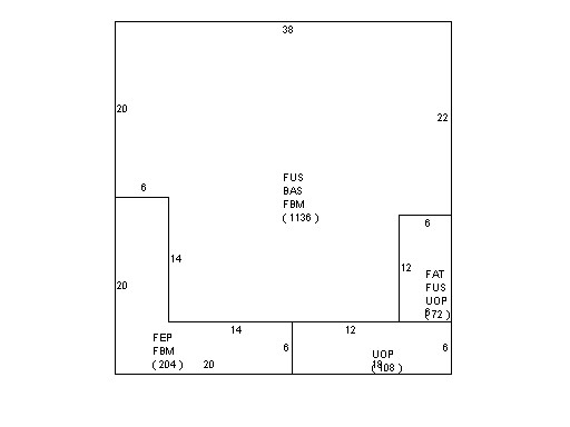
This property contains 0.075 acres of land mainly classified as
ONE FAMILY
with a(n) Conventional style building, built about
1890 , having Wood Shingle exterior and WoodShingle
roof cover, with 1
unit(s), 8
room(s), 5
bedroom(s), 3
bath(s), 0 half bath(s). |
|