|
Unofficial Property Record Card - Falmouth, MA
|
|

|
|
General Property Data
|
|
|
| Parcel
ID |
05A 05 010 000A |
Account
Number |
NORTH FALMOUTH |
| Prior Parcel
ID |
ROOF -- |
| Property
Owner |
THOMAS PHILIP A |
Property
Location |
31 PINE ST |
| |
THOMAS LINDA R |
Property
Use |
MULT HS |
| Mailing
Address |
PO BOX 1398 |
Most
Recent
Sale Date |
3/19/1992 |
| |
|
Legal
Reference |
07924-0318 |
| City |
NORTH FALMOUTH |
Grantor |
THOMAS PHILIP A |
| Mailing
State |
|
Sale Price |
0 |
| ParcelZoning |
RB |
Land Area |
1.028 acres |
|
|
|
|
|
Current Property Assessment
|
|
|
| Card 1 Value |
Building Value |
299,700 |
Xtra Features Value |
1,300 |
Land Value |
222,400 |
Total Value |
523,400 |
|
Total Parcel Value |
Building Value |
322,700 |
Xtra Features Value |
1,300 |
Land Value |
222,400 |
Total Value |
546,400 |
|
|
|
|
|
|
Building Description
|
|
|
| Building
Style |
Cape Cod |
Foundation
Type |
|
Flooring
Type |
Softwood |
| # of Living
Units |
0 |
Frame
Type |
|
Basement
Floor |
N/A |
| Year
Built |
1950 |
Roof
Structure |
Gable/Hip |
Heating
Type |
Hot Water |
| Building
Grade |
5 1.20 |
Roof
Cover |
Asphalt |
Heating
Fuel |
Gas |
| Building
Condition |
Average |
Siding |
Wood Shingle |
Air
Conditioning |
0% |
| Finished
Area (SF) |
1802 |
Interior
Walls |
Drywall |
# of Bsmt
Garages |
0 |
| Number
Rooms |
7 |
# of
Bedrooms |
4 |
# of Full
Baths |
2 |
| # of 3/4
Baths |
0 |
# of 1/2
Baths |
1 |
# of Other
Fixtures |
0 |
|
|
|
|
| Legal Description
|
|
|
|
|
|
|
| Narrative Description of Property
|
|
|
|
This property contains 1.028 acres of land mainly classified as
MULT HS
with a(n) Cape Cod style building, built about
1950 , having Wood Shingle exterior and Asphalt
roof cover, with 0
unit(s), 7
room(s), 4
bedroom(s), 2
bath(s), 1 half bath(s). |
|
|
|
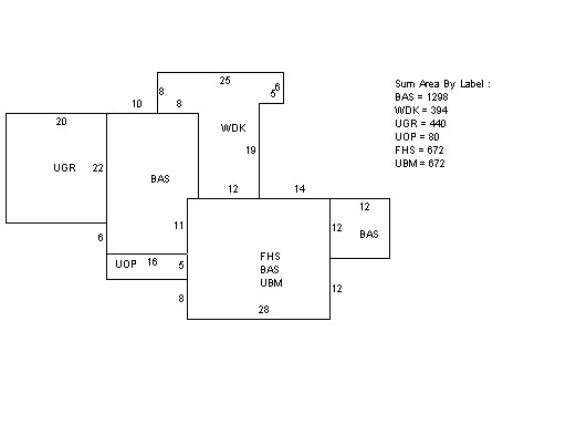
| Property Images
|
|
|