|
Unofficial Property Record Card - Falmouth, MA
|
|

|
|
General Property Data
|
|
|
| Parcel
ID |
47 03 079 001 |
Account
Number |
Falmouth |
| Prior Parcel
ID |
-- |
| Property
Owner |
FOSTER JR HERBERT F |
Property
Location |
199 SURF DR |
| |
FOSTER DIANE C |
Property
Use |
ONE FAMILY |
| Mailing
Address |
199 SURF DR |
Most
Recent
Sale Date |
11/5/1986 |
| |
|
Legal
Reference |
05385-0239 |
| City |
FALMOUTH |
Grantor |
ARCISZ JOSEPH J |
| Mailing
State |
|
Sale Price |
240,000 |
| ParcelZoning |
RC |
Land Area |
0.194 acres |
|
|
|
|
|
Current Property Assessment
|
|
|
| Card 1 Value |
Building Value |
1,008,300 |
Xtra Features Value |
6,000 |
Land Value |
680,300 |
Total Value |
1,694,600 |
|
Total Parcel Value |
Building Value |
1,008,300 |
Xtra Features Value |
6,000 |
Land Value |
680,300 |
Total Value |
1,694,600 |
|
|
|
|
|
| Legal Description
|
|
|
|
|
|
|
| Narrative Description of Property
|
|
|
|
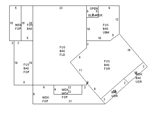
This property contains 0.194 acres of land mainly classified as
ONE FAMILY
with a(n) Colonial style building, built about
2017 , having Wood Shingle exterior and Asphalt
roof cover, with 1
unit(s), 7
room(s), 4
bedroom(s), 1
bath(s), 1 half bath(s). |
|