|
Unofficial Property Record Card - Falmouth, MA
|
|

|
|
General Property Data
|
|
|
| Parcel
ID |
47 05 045 025 |
Account
Number |
Falmouth |
| Prior Parcel
ID |
-- |
| Property
Owner |
ANTHONY BLAIR |
Property
Location |
121 SURF DR |
| |
ANTHONY SUZETTE |
Property
Use |
ONE FAMILY |
| Mailing
Address |
121 SURF DR |
Most
Recent
Sale Date |
7/13/2018 |
| |
|
Legal
Reference |
216762 |
| City |
FALMOUTH |
Grantor |
TAYLOR TRUSTEE,DONNA |
| Mailing
State |
|
Sale Price |
1,002,002 |
| ParcelZoning |
RC |
Land Area |
0.216 acres |
|
|
|
|
|
Current Property Assessment
|
|
|
| Card 1 Value |
Building Value |
652,800 |
Xtra Features Value |
8,100 |
Land Value |
688,500 |
Total Value |
1,349,400 |
|
Total Parcel Value |
Building Value |
652,800 |
Xtra Features Value |
8,100 |
Land Value |
688,500 |
Total Value |
1,349,400 |
|
|
|
|
|
| Legal Description
|
|
|
|
|
|
|
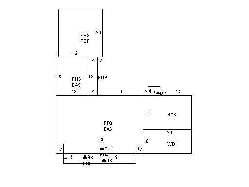
| Narrative Description of Property
|
|
|
|
This property contains 0.216 acres of land mainly classified as
ONE FAMILY
with a(n) Cape Cod style building, built about
1960 , having Wood Shingle exterior and Asphalt
roof cover, with 1
unit(s), 7
room(s), 4
bedroom(s), 0
bath(s), 1 half bath(s). |
|