|
Unofficial Property Record Card - Falmouth, MA
|
|

|
|
General Property Data
|
|
|
| Parcel
ID |
47A 07 062 000 |
Account
Number |
Falmouth |
| Prior Parcel
ID |
-- |
| Property
Owner |
PARISH OF SAINT BARNABAS |
Property
Location |
91 MAIN ST |
| |
|
Property
Use |
CHURCH |
| Mailing
Address |
97 MAIN ST |
Most
Recent
Sale Date |
4/2/1959 |
| |
|
Legal
Reference |
01034-0478 |
| City |
FALMOUTH |
Grantor |
|
| Mailing
State |
|
Sale Price |
0 |
| ParcelZoning |
GR |
Land Area |
1.544 acres |
|
|
|
|
|
Current Property Assessment
|
|
|
| Card 1 Value |
Building Value |
644,800 |
Xtra Features Value |
0 |
Land Value |
1,008,800 |
Total Value |
1,653,600 |
|
Total Parcel Value |
Building Value |
1,415,200 |
Xtra Features Value |
0 |
Land Value |
1,008,800 |
Total Value |
2,424,000 |
|
|
|
|
|
| Legal Description
|
|
|
|
|
|
|
| Narrative Description of Property
|
|
|
|
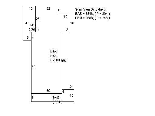
This property contains 1.544 acres of land mainly classified as
CHURCH
with a(n) Church style building, built about
1910 , having Brick on Mas exterior and WoodShingle
roof cover, with 0
unit(s), 0
room(s), 0
bedroom(s), 0
bath(s), 0 half bath(s). |
|