|
Unofficial Property Record Card - Falmouth, MA
|
|

|
|
General Property Data
|
|
|
| Parcel
ID |
47A 16 078 003 |
Account
Number |
Falmouth |
| Prior Parcel
ID |
-- |
| Property
Owner |
STEPHENSON JOHN S |
Property
Location |
177 SHORE ST |
| |
STEPHENSON NORMA |
Property
Use |
ONE FAMILY |
| Mailing
Address |
27 ROBIN RD |
Most
Recent
Sale Date |
1/28/2021 |
| |
|
Legal
Reference |
33733-132 |
| City |
WESTON |
Grantor |
BOURDON,JAMES P |
| Mailing
State |
|
Sale Price |
1,460,000 |
| ParcelZoning |
RC |
Land Area |
0.331 acres |
|
|
|
|
|
Current Property Assessment
|
|
|
| Card 1 Value |
Building Value |
820,000 |
Xtra Features Value |
1,900 |
Land Value |
372,500 |
Total Value |
1,194,400 |
|
Total Parcel Value |
Building Value |
820,000 |
Xtra Features Value |
1,900 |
Land Value |
372,500 |
Total Value |
1,194,400 |
|
|
|
|
|
| Legal Description
|
|
|
|
|
|
|
| Narrative Description of Property
|
|
|
|
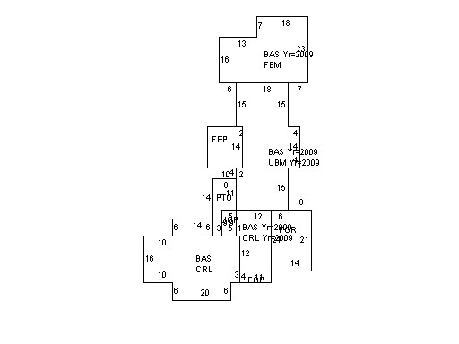
This property contains 0.331 acres of land mainly classified as
ONE FAMILY
with a(n) Cape Cod style building, built about
1941 , having Wood Shingle exterior and Asphalt
roof cover, with 1
unit(s), 8
room(s), 3
bedroom(s), 1
bath(s), 1 half bath(s). |
|