|
Unofficial Property Record Card - Falmouth, MA
|
|

|
|
General Property Data
|
|
|
| Parcel
ID |
47B 09 001 040 |
Account
Number |
Falmouth |
| Prior Parcel
ID |
-- |
| Property
Owner |
FALMOUTH TOWN OF |
Property
Location |
180 SCRANTON AVE |
| |
|
Property
Use |
IMPR SELC |
| Mailing
Address |
59 TOWN HALL SQ |
Most
Recent
Sale Date |
3/7/1990 |
| |
|
Legal
Reference |
119931 |
| City |
FALMOUTH |
Grantor |
|
| Mailing
State |
|
Sale Price |
0 |
| ParcelZoning |
PU |
Land Area |
4.523 acres |
|
|
|
|
|
Current Property Assessment
|
|
|
| Card 1 Value |
Building Value |
610,700 |
Xtra Features Value |
1,216,700 |
Land Value |
3,814,300 |
Total Value |
5,641,700 |
|
Total Parcel Value |
Building Value |
610,700 |
Xtra Features Value |
1,216,700 |
Land Value |
3,814,300 |
Total Value |
5,641,700 |
|
|
|
|
|
| Legal Description
|
|
|
|
|
|
|
| Narrative Description of Property
|
|
|
|
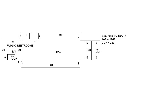
This property contains 4.523 acres of land mainly classified as
IMPR SELC
with a(n) OthMunicipal style building, built about
1990 , having Wood Shingle exterior and WoodShingle
roof cover, with 0
unit(s), 0
room(s), 0
bedroom(s), 0
bath(s), 0 half bath(s). |
|