|
Unofficial Property Record Card - Falmouth, MA
|
|

|
|
General Property Data
|
|
|
| Parcel
ID |
47B 09 005A 033 |
Account
Number |
Falmouth |
| Prior Parcel
ID |
ROOF -- |
| Property
Owner |
FALMOUTH HEIGHTS MARINA INC |
Property
Location |
56 SCRANTON AVE |
| |
|
Property
Use |
OFFICE |
| Mailing
Address |
278 SCRANTON AVE |
Most
Recent
Sale Date |
11/5/1997 |
| |
|
Legal
Reference |
146447 |
| City |
FALMOUTH |
Grantor |
SWIFT E KENT JR |
| Mailing
State |
|
Sale Price |
491,120 |
| ParcelZoning |
M |
Land Area |
0.448 acres |
|
|
|
|
|
Current Property Assessment
|
|
|
| Card 1 Value |
Building Value |
523,600 |
Xtra Features Value |
12,700 |
Land Value |
807,800 |
Total Value |
1,344,100 |
|
Total Parcel Value |
Building Value |
523,600 |
Xtra Features Value |
12,700 |
Land Value |
807,800 |
Total Value |
1,344,100 |
|
|
|
|
|
| Legal Description
|
|
|
|
|
|
|
| Narrative Description of Property
|
|
|
|
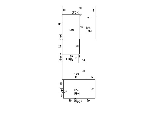
This property contains 0.448 acres of land mainly classified as
OFFICE
with a(n) Store style building, built about
1950 , having Wood Shingle exterior and Asphalt
roof cover, with 1
unit(s), 0
room(s), 0
bedroom(s), 0
bath(s), 3 half bath(s). |
|