|
Unofficial Property Record Card - Falmouth, MA
|
|

|
|
General Property Data
|
|
|
| Parcel
ID |
47C 03 015 003 |
Account
Number |
Falmouth |
| Prior Parcel
ID |
BATHS -- |
| Property
Owner |
WING TRUSTEE JANE M |
Property
Location |
162 CLINTON AVE |
| |
162 CLINTON AVE RLTY TRUST |
Property
Use |
ONE FAMILY |
| Mailing
Address |
270 ARNOLD RD |
Most
Recent
Sale Date |
11/26/2013 |
| |
|
Legal
Reference |
27848-84 |
| City |
NEWTON |
Grantor |
WING ,JANE M |
| Mailing
State |
|
Sale Price |
1 |
| ParcelZoning |
RC |
Land Area |
0.408 acres |
|
|
|
|
|
Current Property Assessment
|
|
|
| Card 1 Value |
Building Value |
434,100 |
Xtra Features Value |
1,400 |
Land Value |
673,400 |
Total Value |
1,108,900 |
|
Total Parcel Value |
Building Value |
434,100 |
Xtra Features Value |
1,400 |
Land Value |
673,400 |
Total Value |
1,108,900 |
|
|
|
|
|
| Legal Description
|
|
|
|
|
|
|
| Narrative Description of Property
|
|
|
|
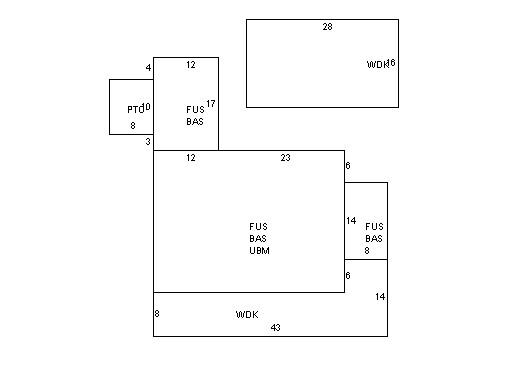
This property contains 0.408 acres of land mainly classified as
ONE FAMILY
with a(n) Colonial style building, built about
1900 , having Wood Shingle exterior and WoodShingle
roof cover, with 1
unit(s), 7
room(s), 4
bedroom(s), 3
bath(s), 1 half bath(s). |
|