|
Unofficial Property Record Card - Falmouth, MA
|
|

|
|
General Property Data
|
|
|
| Parcel
ID |
47C 07 016 000A |
Account
Number |
Falmouth |
| Prior Parcel
ID |
-- |
| Property
Owner |
MULCAHY TRUSTEE BRIAN T |
Property
Location |
59 CLINTON AVE |
| |
MULCAHY TRUSTEE DIANE M |
Property
Use |
ONE FAMILY |
| Mailing
Address |
528 WELD ST |
Most
Recent
Sale Date |
12/18/2012 |
| |
|
Legal
Reference |
199032 |
| City |
WEST ROXBURY |
Grantor |
MULCAHY JR,JOHN J |
| Mailing
State |
|
Sale Price |
1 |
| ParcelZoning |
RC |
Land Area |
1.288 acres |
|
|
|
|
|
Current Property Assessment
|
|
|
| Card 1 Value |
Building Value |
347,500 |
Xtra Features Value |
10,100 |
Land Value |
912,600 |
Total Value |
1,270,200 |
|
Total Parcel Value |
Building Value |
347,500 |
Xtra Features Value |
10,100 |
Land Value |
912,600 |
Total Value |
1,270,200 |
|
|
|
|
|
| Legal Description
|
|
|
|
|
|
|
| Narrative Description of Property
|
|
|
|
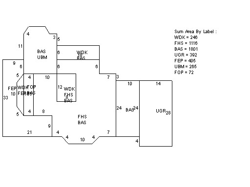
This property contains 1.288 acres of land mainly classified as
ONE FAMILY
with a(n) Cape Cod style building, built about
1900 , having Wood Shingle exterior and WoodShingle
roof cover, with 1
unit(s), 8
room(s), 5
bedroom(s), 1
bath(s), 1 half bath(s). |
|