|
Unofficial Property Record Card - Falmouth, MA
|
|

|
|
General Property Data
|
|
|
| Parcel
ID |
48 11 016 017 |
Account
Number |
SIPPEWISSETT |
| Prior Parcel
ID |
-- |
| Property
Owner |
REED PAUL C |
Property
Location |
100 RANSOM RD |
| |
SCHAFER LEAH E |
Property
Use |
ONE FAMILY |
| Mailing
Address |
100 RANSON RD |
Most
Recent
Sale Date |
12/3/2018 |
| |
|
Legal
Reference |
218067 |
| City |
FALMOUTH |
Grantor |
WOODS HOLE OCEANOGRAPHIC INST, |
| Mailing
State |
|
Sale Price |
825,000 |
| ParcelZoning |
RB |
Land Area |
0.549 acres |
|
|
|
|
|
Current Property Assessment
|
|
|
| Card 1 Value |
Building Value |
375,600 |
Xtra Features Value |
43,200 |
Land Value |
584,200 |
Total Value |
1,003,000 |
|
Total Parcel Value |
Building Value |
375,600 |
Xtra Features Value |
43,200 |
Land Value |
584,200 |
Total Value |
1,003,000 |
|
|
|
|
|
| Legal Description
|
|
|
|
|
|
|
| Narrative Description of Property
|
|
|
|
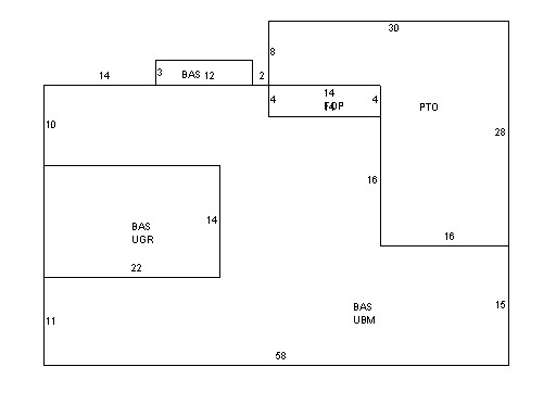
This property contains 0.549 acres of land mainly classified as
ONE FAMILY
with a(n) Ranch style building, built about
1950 , having Wood on Shth exterior and Asphalt
roof cover, with 1
unit(s), 4
room(s), 2
bedroom(s), 2
bath(s), 0 half bath(s). |
|