|
Unofficial Property Record Card - Falmouth, MA
|
|

|
|
General Property Data
|
|
|
| Parcel
ID |
48 13A 014 049 |
Account
Number |
Falmouth |
| Prior Parcel
ID |
-- |
| Property
Owner |
MACRAE BRUCE C |
Property
Location |
441 ELM RD |
| |
MACRAE THERESA |
Property
Use |
ONE FAMILY |
| Mailing
Address |
441 ELM RD |
Most
Recent
Sale Date |
10/21/2013 |
| |
|
Legal
Reference |
201804 |
| City |
FALMOUTH |
Grantor |
WHITNEY ESTATE OF,LINDA |
| Mailing
State |
|
Sale Price |
1,515,000 |
| ParcelZoning |
RB |
Land Area |
0.732 acres |
|
|
|
|
|
Current Property Assessment
|
|
|
| Card 1 Value |
Building Value |
1,275,500 |
Xtra Features Value |
5,800 |
Land Value |
1,486,600 |
Total Value |
2,767,900 |
|
Total Parcel Value |
Building Value |
1,275,500 |
Xtra Features Value |
5,800 |
Land Value |
1,486,600 |
Total Value |
2,767,900 |
|
|
|
|
|
| Legal Description
|
|
|
|
|
|
|
| Narrative Description of Property
|
|
|
|
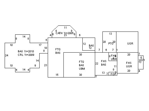
This property contains 0.732 acres of land mainly classified as
ONE FAMILY
with a(n) Cape Cod style building, built about
1920 , having Wood Shingle exterior and Asphalt
roof cover, with 1
unit(s), 7
room(s), 4
bedroom(s), 3
bath(s), 2 half bath(s). |
|