|
Unofficial Property Record Card - Falmouth, MA
|
|

|
|
General Property Data
|
|
|
| Parcel
ID |
50 05 015 000A |
Account
Number |
QUISSETT |
| Prior Parcel
ID |
-- |
| Property
Owner |
WOODS HOLE OCEANOGRAPHIC INST |
Property
Location |
186 OYSTER POND RD |
| |
GENERAL ACCOUNTING OFFICE |
Property
Use |
LAND-R |
| Mailing
Address |
569 WOODS HOLE RD |
Most
Recent
Sale Date |
10/28/1968 |
| |
ATTN: NANCY SHEA |
Legal
Reference |
44053 |
| City |
WOODS HOLE |
Grantor |
|
| Mailing
State |
|
Sale Price |
0 |
| ParcelZoning |
RA |
Land Area |
9.273 acres |
|
|
|
|
|
Current Property Assessment
|
|
|
| Card 1 Value |
Building Value |
0 |
Xtra Features Value |
0 |
Land Value |
3,301,700 |
Total Value |
3,301,700 |
|
Total Parcel Value |
Building Value |
0 |
Xtra Features Value |
0 |
Land Value |
3,301,700 |
Total Value |
3,301,700 |
|
|
|
|
|
|
Building Description
|
|
|
| Building
Style |
R and D |
Foundation
Type |
Concrete |
Flooring
Type |
Minimum |
| # of Living
Units |
0 |
Frame
Type |
Wood |
Basement
Floor |
N/A |
| Year
Built |
1960 |
Roof
Structure |
Gable/Hip |
Heating
Type |
Frcd Hot Air |
| Building
Grade |
4 1.1 |
Roof
Cover |
Asphalt |
Heating
Fuel |
Gas |
| Building
Condition |
Average |
Siding |
|
Air
Conditioning |
100% |
| Finished
Area (SF) |
2240 |
Interior
Walls |
Drywall |
# of Bsmt
Garages |
0 |
| Number
Rooms |
0 |
# of
Bedrooms |
0 |
# of Full
Baths |
0 |
| # of 3/4
Baths |
0 |
# of 1/2
Baths |
0 |
# of Other
Fixtures |
0 |
|
|
|
|
| Legal Description
|
|
|
|
|
|
|
| Narrative Description of Property
|
|
|
|
This property contains 9.273 acres of land mainly classified as
LAND-R
with a(n) R and D style building, built about
1960 , having exterior and Asphalt
roof cover, with 0
unit(s), 0
room(s), 0
bedroom(s), 0
bath(s), 0 half bath(s). |
|
|
|
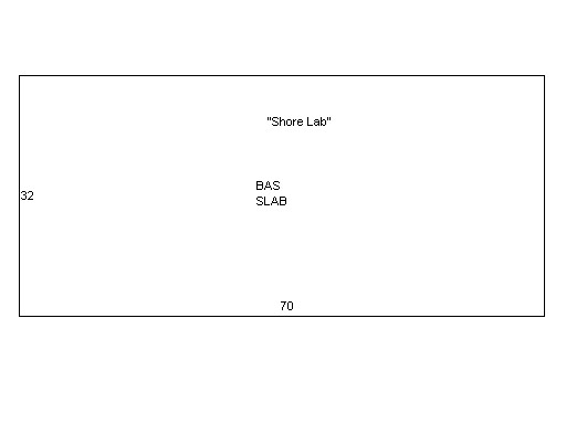
| Property Images
|
|
|