|
Unofficial Property Record Card - Falmouth, MA
|
|

|
|
General Property Data
|
|
|
| Parcel
ID |
32 04 011 001 |
Account
Number |
EAST FALMOUTH |
| Prior Parcel
ID |
-- |
| Property
Owner |
STODD33SRR LLC |
Property
Location |
33 SALT RIVER RD |
| |
|
Property
Use |
ONE FAMILY |
| Mailing
Address |
11 GROVER RD |
Most
Recent
Sale Date |
11/10/2022 |
| |
|
Legal
Reference |
35475-298 |
| City |
ASHLAND |
Grantor |
LEWIS TRUSTEE,PETER H |
| Mailing
State |
|
Sale Price |
1,000,000 |
| ParcelZoning |
AGB |
Land Area |
1.315 acres |
|
|
|
|
|
Current Property Assessment
|
|
|
| Card 1 Value |
Building Value |
722,400 |
Xtra Features Value |
29,300 |
Land Value |
332,700 |
Total Value |
1,084,400 |
|
Total Parcel Value |
Building Value |
722,400 |
Xtra Features Value |
29,300 |
Land Value |
332,700 |
Total Value |
1,084,400 |
|
|
|
|
|
| Legal Description
|
|
|
|
PARENT LOTS 32 04 011 000 & 32 04 012 000 / PLAN 584/56
|
|
|
| Narrative Description of Property
|
|
|
|
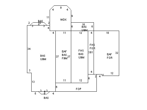
This property contains 1.315 acres of land mainly classified as
ONE FAMILY
with a(n) Cape Cod style building, built about
2004 , having Wood Shingle exterior and Asphalt
roof cover, with 1
unit(s), 7
room(s), 4
bedroom(s), 3
bath(s), 1 half bath(s). |
|