|
Unofficial Property Record Card - Falmouth, MA
|
|

|
|
General Property Data
|
|
|
| Parcel
ID |
24 05 003 026A |
Account
Number |
WEST FALMOUTH |
| Prior Parcel
ID |
-- |
| Property
Owner |
AMENT TRUSTEE ROBERT H |
Property
Location |
40 ASSOCIATES RD |
| |
FORTY ASSOCIATES RD NOM TRUST |
Property
Use |
ONE FAMILY |
| Mailing
Address |
39 TOWN HALL SQ |
Most
Recent
Sale Date |
9/29/2005 |
| |
|
Legal
Reference |
20309-141 |
| City |
FALMOUTH |
Grantor |
WHITE JR ESTATE OF,HAROLD T |
| Mailing
State |
|
Sale Price |
3,875,000 |
| ParcelZoning |
RB |
Land Area |
0.700 acres |
|
|
|
|
|
Current Property Assessment
|
|
|
| Card 1 Value |
Building Value |
2,140,000 |
Xtra Features Value |
15,800 |
Land Value |
4,346,000 |
Total Value |
6,501,800 |
|
Total Parcel Value |
Building Value |
2,140,000 |
Xtra Features Value |
15,800 |
Land Value |
4,346,000 |
Total Value |
6,501,800 |
|
|
|
|
|
| Legal Description
|
|
|
|
PARENT LOT 24 05 003 026 PLAN 615/37`07
|
|
|
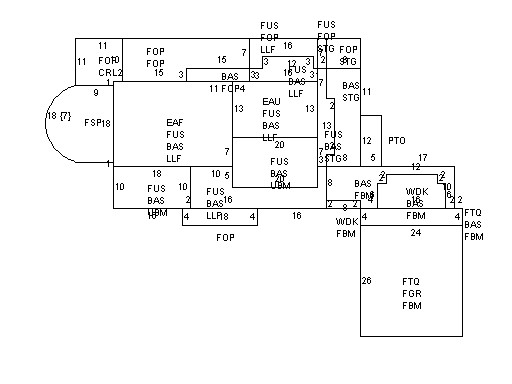
| Narrative Description of Property
|
|
|
|
This property contains 0.700 acres of land mainly classified as
ONE FAMILY
with a(n) Custom style building, built about
2008 , having Wood Shingle exterior and WoodShingle
roof cover, with 1
unit(s), 15
room(s), 4
bedroom(s), 3
bath(s), 2 half bath(s). |
|