|
Unofficial Property Record Card - Falmouth, MA
|
|

|
|
General Property Data
|
|
|
| Parcel
ID |
41 05 004A 001 |
Account
Number |
EAST FALMOUTH |
| Prior Parcel
ID |
-- |
| Property
Owner |
PETERS TRUSTEE PAMELA L |
Property
Location |
368 CENTRAL AVE |
| |
PETERS COVE FAM TR |
Property
Use |
ONE FAMILY |
| Mailing
Address |
PO BOX 896 |
Most
Recent
Sale Date |
8/24/2018 |
| |
|
Legal
Reference |
31487-51 |
| City |
EAST FALMOUTH |
Grantor |
PETERS,PAMELA L |
| Mailing
State |
|
Sale Price |
1 |
| ParcelZoning |
RB |
Land Area |
0.919 acres |
|
|
|
|
|
Current Property Assessment
|
|
|
| Card 1 Value |
Building Value |
786,700 |
Xtra Features Value |
46,400 |
Land Value |
400,100 |
Total Value |
1,233,200 |
|
Total Parcel Value |
Building Value |
786,700 |
Xtra Features Value |
46,400 |
Land Value |
400,100 |
Total Value |
1,233,200 |
|
|
|
|
|
| Legal Description
|
|
|
|
PARENT LOT 41 05 004 002/PLAN 623/52`08
|
|
|
| Narrative Description of Property
|
|
|
|
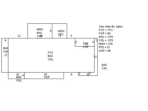
This property contains 0.919 acres of land mainly classified as
ONE FAMILY
with a(n) Colonial style building, built about
2015 , having Wood Shingle exterior and Asphalt
roof cover, with 1
unit(s), 7
room(s), 3
bedroom(s), 2
bath(s), 1 half bath(s). |
|