|
Unofficial Property Record Card - Falmouth, MA
|
|

|
|
General Property Data
|
|
|
| Parcel
ID |
39 15 025 001 |
Account
Number |
Falmouth |
| Prior Parcel
ID |
-- |
| Property
Owner |
KANELLOPOULOS TRUSTEE CHRISTOS G |
Property
Location |
105 DAVIS STRAITS |
| |
KANELLOPOULOS TRUSTEE BARBARA |
Property
Use |
DISC ST |
| Mailing
Address |
632 WASHINGTON ST |
Most
Recent
Sale Date |
12/31/1996 |
| |
C/O COFFMAN RLTY INC |
Legal
Reference |
10550-0123 |
| City |
SOUTH EASTON |
Grantor |
KANELLOPOULOS CHRISTOS G |
| Mailing
State |
|
Sale Price |
0 |
| ParcelZoning |
B2 |
Land Area |
1.891 acres |
|
|
|
|
|
Current Property Assessment
|
|
|
| Card 1 Value |
Building Value |
2,073,600 |
Xtra Features Value |
43,100 |
Land Value |
1,235,800 |
Total Value |
3,352,500 |
|
Total Parcel Value |
Building Value |
2,073,600 |
Xtra Features Value |
43,100 |
Land Value |
1,235,800 |
Total Value |
3,352,500 |
|
|
|
|
|
| Legal Description
|
|
|
|
FY16 SUBDIVSION PLAN 655/23`14 PARENT LOTS 39 15 027 000,39 15 027 000 & 39 15 025 000C
|
|
|
| Narrative Description of Property
|
|
|
|
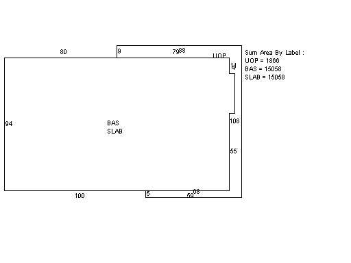
This property contains 1.891 acres of land mainly classified as
DISC ST
with a(n) Store style building, built about
2015 , having Brick on Mas exterior and Asphalt
roof cover, with 1
unit(s), 0
room(s), 0
bedroom(s), 0
bath(s), 2 half bath(s). |
|