|
Unofficial Property Record Card - Falmouth, MA
|
|

|
|
General Property Data
|
|
|
| Parcel
ID |
33 10 002 002 |
Account
Number |
EAST FALMOUTH |
| Prior Parcel
ID |
ADDITION -TO-GARAGE |
| Property
Owner |
ROMAN CATHOLIC BISHOP OF FALL RIVER |
Property
Location |
167 EAST FALMOUTH HWY |
| |
|
Property
Use |
CHURCH |
| Mailing
Address |
167 EAST FALMOUTH HWY |
Most
Recent
Sale Date |
1/1/1900 |
| |
C/O ST ANTHONY PARISH |
Legal
Reference |
N/A |
| City |
EAST FALMOUTH |
Grantor |
|
| Mailing
State |
|
Sale Price |
0 |
| ParcelZoning |
PU |
Land Area |
35.569 acres |
|
|
|
|
|
Current Property Assessment
|
|
|
| Card 1 Value |
Building Value |
1,449,200 |
Xtra Features Value |
0 |
Land Value |
1,116,000 |
Total Value |
2,565,200 |
|
Total Parcel Value |
Building Value |
3,125,800 |
Xtra Features Value |
118,900 |
Land Value |
1,116,000 |
Total Value |
4,360,700 |
|
|
|
|
|
| Legal Description
|
|
|
|
FY16 SUBDIVSION LAND COURT PLAN PENDING`14 WAS 33 10 002 000
|
|
|
| Narrative Description of Property
|
|
|
|
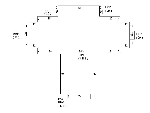
This property contains 35.569 acres of land mainly classified as
CHURCH
with a(n) Church style building, built about
1900 , having Clapboard exterior and Asphalt
roof cover, with 0
unit(s), 0
room(s), 0
bedroom(s), 0
bath(s), 3 half bath(s). |
|