|
Unofficial Property Record Card - Falmouth, MA
|
|

|
|
General Property Data
|
|
|
| Parcel
ID |
02A 02 004 000B |
Account
Number |
NORTH FALMOUTH |
| Prior Parcel
ID |
WINDOWS -- |
| Property
Owner |
POWERS TRUSTEE JOHN C |
Property
Location |
9 HOLMES ST |
| |
COLLINS IRREVOC PROPERTY TR |
Property
Use |
ONE FAMILY |
| Mailing
Address |
533 HARLAND ST |
Most
Recent
Sale Date |
12/12/1997 |
| |
C/O WEBSTER A COLLINS |
Legal
Reference |
146846 |
| City |
MILTON |
Grantor |
COLLINS ANNE K |
| Mailing
State |
|
Sale Price |
0 |
| ParcelZoning |
RB |
Land Area |
1.468 acres |
|
|
|
|
|
Current Property Assessment
|
|
|
| Card 1 Value |
Building Value |
494,100 |
Xtra Features Value |
46,600 |
Land Value |
1,710,000 |
Total Value |
2,250,700 |
|
Total Parcel Value |
Building Value |
494,100 |
Xtra Features Value |
46,600 |
Land Value |
1,710,000 |
Total Value |
2,250,700 |
|
|
|
|
|
| Legal Description
|
|
|
|
|
|
|
| Narrative Description of Property
|
|
|
|
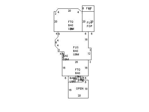
This property contains 1.468 acres of land mainly classified as
ONE FAMILY
with a(n) Gambrel style building, built about
1929 , having Wood Shingle exterior and WoodShingle
roof cover, with 1
unit(s), 8
room(s), 5
bedroom(s), 2
bath(s), 1 half bath(s). |
|