|
Unofficial Property Record Card - Falmouth, MA
|
|

|
|
General Property Data
|
|
|
| Parcel
ID |
14 11 025 164 |
Account
Number |
WEST FALMOUTH |
| Prior Parcel
ID |
-- |
| Property
Owner |
HO JAMES K |
Property
Location |
27 NAUSHON CIR |
| |
HO CATHERINE MCCARTHY |
Property
Use |
ONE FAMILY |
| Mailing
Address |
19 DARTMOUTH PL |
Most
Recent
Sale Date |
2/5/1997 |
| |
|
Legal
Reference |
143497 |
| City |
BOSTON |
Grantor |
HUNT GREGORY K&LAWRENCE D TR |
| Mailing
State |
|
Sale Price |
910,000 |
| ParcelZoning |
RB |
Land Area |
0.512 acres |
|
|
|
|
|
Current Property Assessment
|
|
|
| Card 1 Value |
Building Value |
496,900 |
Xtra Features Value |
1,200 |
Land Value |
2,175,200 |
Total Value |
2,673,300 |
|
Total Parcel Value |
Building Value |
496,900 |
Xtra Features Value |
1,200 |
Land Value |
2,175,200 |
Total Value |
2,673,300 |
|
|
|
|
|
| Legal Description
|
|
|
|
|
|
|
| Narrative Description of Property
|
|
|
|
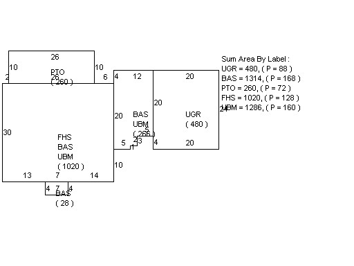
This property contains 0.512 acres of land mainly classified as
ONE FAMILY
with a(n) Cape Cod style building, built about
1933 , having Wood Shingle exterior and Asphalt
roof cover, with 1
unit(s), 7
room(s), 4
bedroom(s), 3
bath(s), 1 half bath(s). |
|