|
Unofficial Property Record Card - Falmouth, MA
|
|

|
|
General Property Data
|
|
|
| Parcel
ID |
02 01 015E 004 |
Account
Number |
NORTH FALMOUTH |
| Prior Parcel
ID |
-- |
| Property
Owner |
MARRONI LISA J |
Property
Location |
53 BRYANT POINT RD |
| |
|
Property
Use |
ONE FAMILY |
| Mailing
Address |
53 BRYANT POINT RD |
Most
Recent
Sale Date |
1/25/2021 |
| |
|
Legal
Reference |
33721-126 |
| City |
NORTH FALMOUTH |
Grantor |
KLEIN TRUSTEE,SANDRA P |
| Mailing
State |
|
Sale Price |
1,950,000 |
| ParcelZoning |
RB |
Land Area |
0.471 acres |
|
|
|
|
|
Current Property Assessment
|
|
|
| Card 1 Value |
Building Value |
804,900 |
Xtra Features Value |
0 |
Land Value |
1,990,500 |
Total Value |
2,795,400 |
|
Total Parcel Value |
Building Value |
804,900 |
Xtra Features Value |
0 |
Land Value |
1,990,500 |
Total Value |
2,795,400 |
|
|
|
|
|
| Legal Description
|
|
|
|
|
|
|
| Narrative Description of Property
|
|
|
|
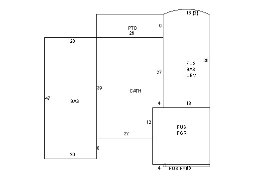
This property contains 0.471 acres of land mainly classified as
ONE FAMILY
with a(n) Contemporary style building, built about
1960 , having Wood Shingle exterior and Asphalt
roof cover, with 1
unit(s), 7
room(s), 3
bedroom(s), 3
bath(s), 0 half bath(s). |
|