|
Unofficial Property Record Card - Falmouth, MA
|
|

|
|
General Property Data
|
|
|
| Parcel
ID |
02 03 004 000A |
Account
Number |
NORTH FALMOUTH |
| Prior Parcel
ID |
-- |
| Property
Owner |
POWERS TRUSTEE JOHN C |
Property
Location |
87 GARNET AVE |
| |
WARNER TRUSTEE DAVID C |
Property
Use |
MIXED RES AG |
| Mailing
Address |
533 HARLAND ST |
Most
Recent
Sale Date |
5/2/1997 |
| |
C/O WEBSTER COLLINS |
Legal
Reference |
10732-0006 |
| City |
MILTON |
Grantor |
COLLINS WEBSTER E |
| Mailing
State |
|
Sale Price |
0 |
| ParcelZoning |
RB |
Land Area |
14.868 acres |
|
|
|
|
|
Current Property Assessment
|
|
|
| Card 1 Value |
Building Value |
271,600 |
Xtra Features Value |
81,700 |
Land Value |
226,463 |
Total Value |
579,763 |
|
Total Parcel Value |
Building Value |
271,600 |
Xtra Features Value |
81,700 |
Land Value |
226,463 |
Total Value |
579,763 |
|
|
|
|
|
|
Building Description
|
|
|
| Building
Style |
Cape Cod |
Foundation
Type |
Stone |
Flooring
Type |
Carpet |
| # of Living
Units |
1 |
Frame
Type |
Wood |
Basement
Floor |
N/A |
| Year
Built |
1918 |
Roof
Structure |
Gable/Hip |
Heating
Type |
Hot Water |
| Building
Grade |
5 1.20 |
Roof
Cover |
Asphalt |
Heating
Fuel |
Gas |
| Building
Condition |
Average |
Siding |
Wood Shingle |
Air
Conditioning |
0% |
| Finished
Area (SF) |
1776 |
Interior
Walls |
Drywall |
# of Bsmt
Garages |
0 |
| Number
Rooms |
6 |
# of
Bedrooms |
3 |
# of Full
Baths |
1 |
| # of 3/4
Baths |
0 |
# of 1/2
Baths |
0 |
# of Other
Fixtures |
0 |
|
|
|
|
| Legal Description
|
|
|
|
|
|
|
| Narrative Description of Property
|
|
|
|
This property contains 14.868 acres of land mainly classified as
MIXED RES AG
with a(n) Cape Cod style building, built about
1918 , having Wood Shingle exterior and Asphalt
roof cover, with 1
unit(s), 6
room(s), 3
bedroom(s), 1
bath(s), 0 half bath(s). |
|
|
|
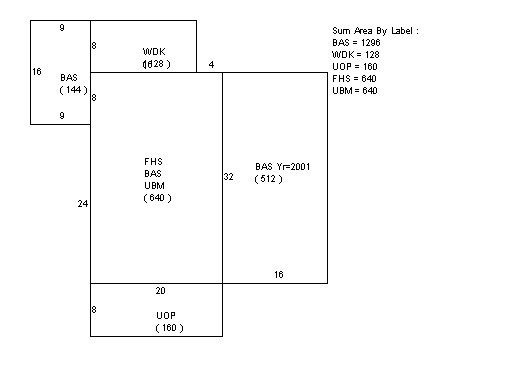
| Property Images
|
|
|