|
Unofficial Property Record Card - Falmouth, MA
|
|

|
|
General Property Data
|
|
|
| Parcel
ID |
23 03 007 061 |
Account
Number |
WEST FALMOUTH |
| Prior Parcel
ID |
-- |
| Property
Owner |
THOLKE TRUSTEE DOUGLAS G |
Property
Location |
26 BRANTWOOD DR |
| |
D G THOLKE 2013 REVOC TRUST |
Property
Use |
ONE FAMILY |
| Mailing
Address |
26 BRANTWOOD RD |
Most
Recent
Sale Date |
12/9/2013 |
| |
|
Legal
Reference |
27869-194 |
| City |
FALMOUTH |
Grantor |
THOLKE,DOUGLAS G |
| Mailing
State |
|
Sale Price |
1 |
| ParcelZoning |
RB |
Land Area |
0.496 acres |
|
|
|
|
|
Current Property Assessment
|
|
|
| Card 1 Value |
Building Value |
422,800 |
Xtra Features Value |
800 |
Land Value |
268,500 |
Total Value |
692,100 |
|
Total Parcel Value |
Building Value |
422,800 |
Xtra Features Value |
800 |
Land Value |
268,500 |
Total Value |
692,100 |
|
|
|
|
|
|
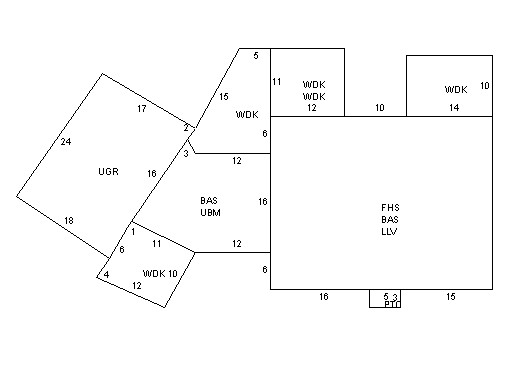
Building Description
|
|
|
| Building
Style |
Cape Cod |
Foundation
Type |
Concrete |
Flooring
Type |
Hardwood |
| # of Living
Units |
1 |
Frame
Type |
Wood |
Basement
Floor |
Conc Slab |
| Year
Built |
1979 |
Roof
Structure |
Gable/Hip |
Heating
Type |
Hot Water |
| Building
Grade |
6 1.35 |
Roof
Cover |
Asphalt |
Heating
Fuel |
Oil |
| Building
Condition |
Average |
Siding |
Clapboard |
Air
Conditioning |
0% |
| Finished
Area (SF) |
2057 |
Interior
Walls |
Drywall |
# of Bsmt
Garages |
0 |
| Number
Rooms |
9 |
# of
Bedrooms |
6 |
# of Full
Baths |
2 |
| # of 3/4
Baths |
0 |
# of 1/2
Baths |
1 |
# of Other
Fixtures |
0 |
|
|
|
|
| Legal Description
|
|
|
|
|
|
|
| Narrative Description of Property
|
|
|
|
This property contains 0.496 acres of land mainly classified as
ONE FAMILY
with a(n) Cape Cod style building, built about
1979 , having Clapboard exterior and Asphalt
roof cover, with 1
unit(s), 9
room(s), 6
bedroom(s), 2
bath(s), 1 half bath(s). |
|
|
|
| Property Images
|
|
|