|
Unofficial Property Record Card - Falmouth, MA
|
|

|
|
General Property Data
|
|
|
| Parcel
ID |
24 04 002 004 |
Account
Number |
WEST FALMOUTH |
| Prior Parcel
ID |
-- |
| Property
Owner |
SHEARER TRUSTEE DEBORAH L |
Property
Location |
132 ASSOCIATES RD |
| |
LADD TRUSTEE STEPHEN G |
Property
Use |
TWO FAM |
| Mailing
Address |
PO BOX 3163 |
Most
Recent
Sale Date |
12/28/1988 |
| |
|
Legal
Reference |
06572-0284 |
| City |
WAQUOIT |
Grantor |
RAMSDELL ESTHER M |
| Mailing
State |
|
Sale Price |
0 |
| ParcelZoning |
RB |
Land Area |
1.038 acres |
|
|
|
|
|
Current Property Assessment
|
|
|
| Card 1 Value |
Building Value |
398,900 |
Xtra Features Value |
9,600 |
Land Value |
2,200,300 |
Total Value |
2,608,800 |
|
Total Parcel Value |
Building Value |
398,900 |
Xtra Features Value |
9,600 |
Land Value |
2,200,300 |
Total Value |
2,608,800 |
|
|
|
|
|
| Legal Description
|
|
|
|
|
|
|
| Narrative Description of Property
|
|
|
|
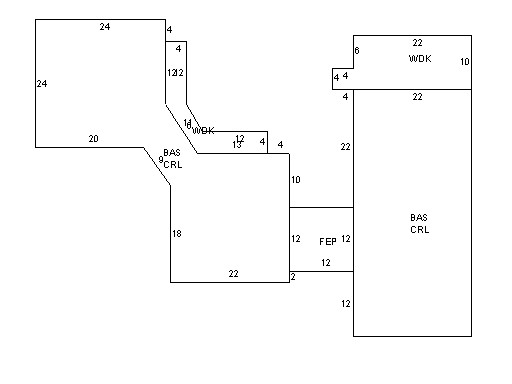
This property contains 1.038 acres of land mainly classified as
TWO FAM
with a(n) Ranch style building, built about
1981 , having Wood Shingle exterior and Asphalt
roof cover, with 2
unit(s), 7
room(s), 4
bedroom(s), 2
bath(s), 0 half bath(s). |
|