|
Unofficial Property Record Card - Falmouth, MA
|
|

|
|
General Property Data
|
|
|
| Parcel
ID |
24 07 001 034A |
Account
Number |
WEST FALMOUTH |
| Prior Parcel
ID |
-- |
| Property
Owner |
BALK TRUSTEE MARK D |
Property
Location |
212 ASSOCIATES RD |
| |
IRIS TRUST |
Property
Use |
ONE FAMILY |
| Mailing
Address |
37 COMMONWEALTH AVE |
Most
Recent
Sale Date |
3/17/2003 |
| |
C/O DEBRA SMITH KNEZ |
Legal
Reference |
16586-0245 |
| City |
BOSTON |
Grantor |
DANIELS DANIEL/D LIEBELL TR |
| Mailing
State |
|
Sale Price |
3,000,000 |
| ParcelZoning |
RB |
Land Area |
1.218 acres |
|
|
|
|
|
Current Property Assessment
|
|
|
| Card 1 Value |
Building Value |
3,227,500 |
Xtra Features Value |
60,700 |
Land Value |
1,854,000 |
Total Value |
5,142,200 |
|
Total Parcel Value |
Building Value |
3,227,500 |
Xtra Features Value |
60,700 |
Land Value |
1,854,000 |
Total Value |
5,142,200 |
|
|
|
|
|
| Legal Description
|
|
|
|
|
|
|
| Narrative Description of Property
|
|
|
|
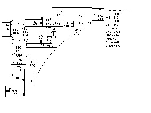
This property contains 1.218 acres of land mainly classified as
ONE FAMILY
with a(n) Custom style building, built about
2013 , having Wood Shingle exterior and WoodShingle
roof cover, with 1
unit(s), 12
room(s), 6
bedroom(s), 7
bath(s), 2 half bath(s). |
|