|
Unofficial Property Record Card - Falmouth, MA
|
|

|
|
General Property Data
|
|
|
| Parcel
ID |
25 07 009 147 |
Account
Number |
WEST FALMOUTH |
| Prior Parcel
ID |
-- |
| Property
Owner |
MCCUSKER TRUSTEE ROBERT F |
Property
Location |
16 TUPELO RD |
| |
RF MCCUSKER TR |
Property
Use |
ONE FAMILY |
| Mailing
Address |
615 10TH AVE S |
Most
Recent
Sale Date |
4/10/2018 |
| |
|
Legal
Reference |
215865 |
| City |
NAPLES |
Grantor |
MCCUSKER,ROBERT F |
| Mailing
State |
|
Sale Price |
100 |
| ParcelZoning |
RB |
Land Area |
0.522 acres |
|
|
|
|
|
Current Property Assessment
|
|
|
| Card 1 Value |
Building Value |
504,700 |
Xtra Features Value |
0 |
Land Value |
1,698,100 |
Total Value |
2,202,800 |
|
Total Parcel Value |
Building Value |
504,700 |
Xtra Features Value |
0 |
Land Value |
1,698,100 |
Total Value |
2,202,800 |
|
|
|
|
|
| Legal Description
|
|
|
|
|
|
|
| Narrative Description of Property
|
|
|
|
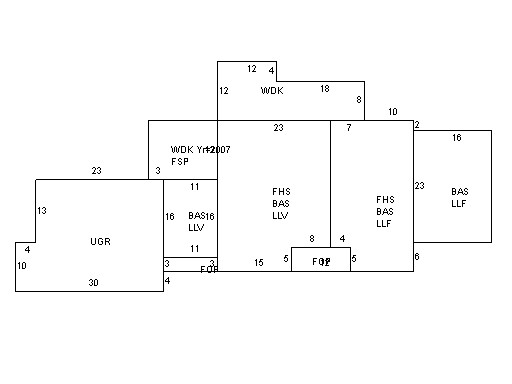
This property contains 0.522 acres of land mainly classified as
ONE FAMILY
with a(n) Cape Cod style building, built about
1967 , having Wood Shingle exterior and Asphalt
roof cover, with 1
unit(s), 8
room(s), 5
bedroom(s), 3
bath(s), 0 half bath(s). |
|